
Step 01
Pick your city
Pick any city, anywhere. CityWalker is ready.
Lisbon, PT
Amsterdam, NL ✓
Kyoto, JP
Track every street you walk and watch your city fill in on the map. Every step uncovers something new, and nothing you uncover ever fades.
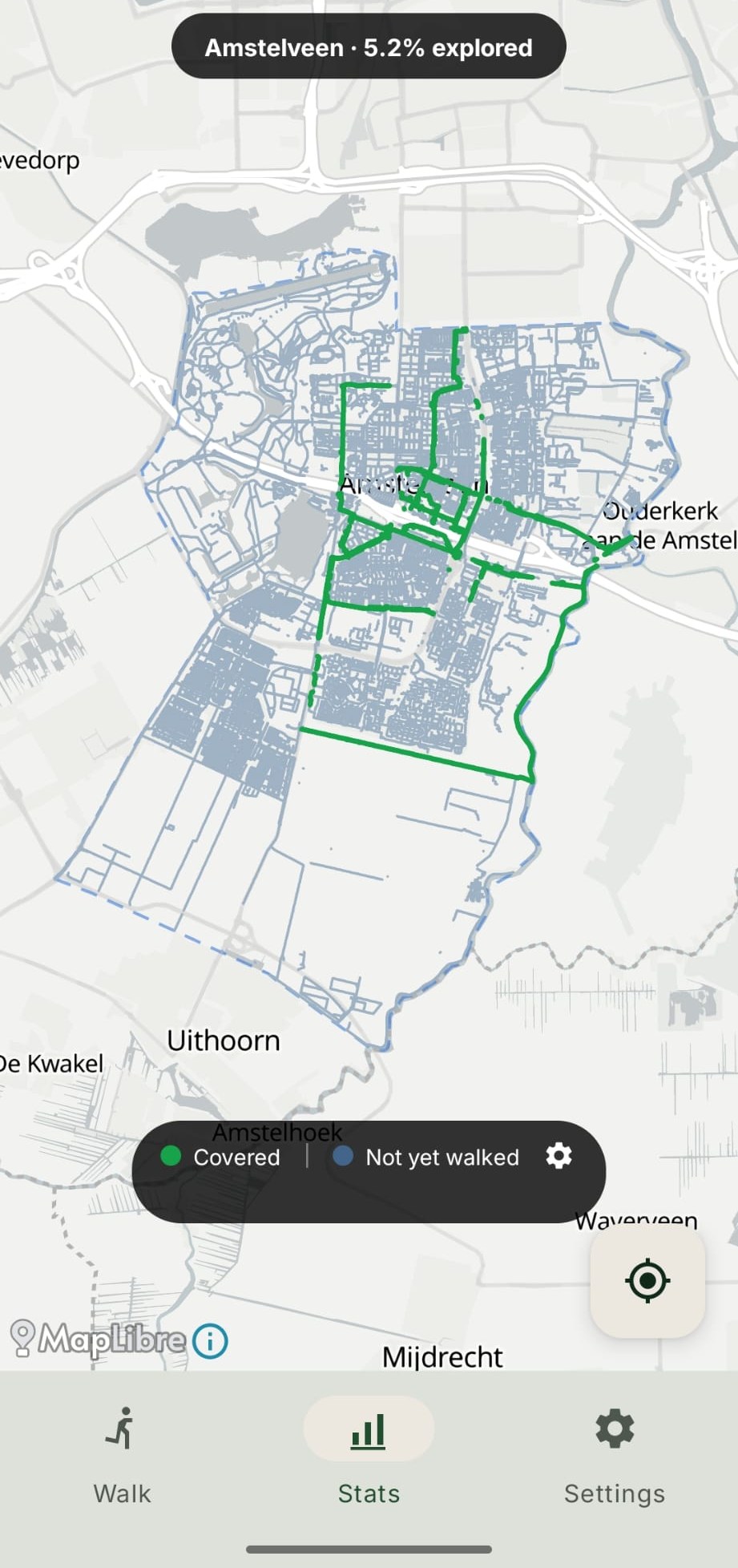
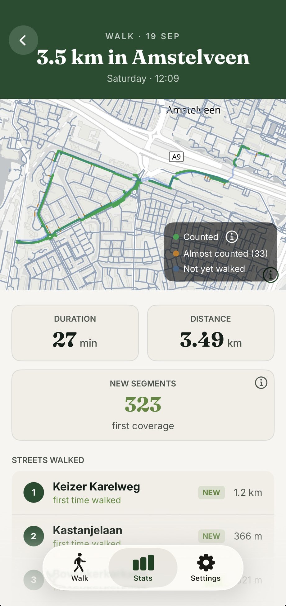
Real coverage and a real walk from a CityWalker user in Amstelveen.
No setup, no logins, no data harvested. Pick a city, tap GO, walk. Your progress is drawn on a map that is only yours.
Pick any city, anywhere. CityWalker is ready.
The app tracks your route in the background. Walk your block, a new region, or wherever you're curious.
After each walk, the streets you covered light up on your personal map. Once a street is lit, it stays lit. Coverage only ever climbs.
CityWalker is rated 4.9 out of 5 on Google Play, from 37 reviews. Quotes are verbatim from Play Store reviews. I leave the names out here on purpose.
It is a genuinely fun way to explore and hit your step goals. Best part? Zero data tracking!! No account needed and no data shared because everything stays on your phone. Finding an app that respects privacy this much is rare.
Works great! Every time I use the app, I discover new places. The app feels smooth, and I could start right away without any hassle.
I've been wanting a way to track my progress of walking every street in my town since the early 2000s.
It is made clear what is and isn't tracked, for example, location data stays completely local. A lot better than most apps like this.
Two things that set CityWalker apart whether you are starting fresh or bringing years of walks with you.
Large cities are automatically split into regions so you can track progress area by area. Conquer Jordaan before moving to De Pijp, or work on all of them at once. Every neighbourhood has its own coverage percentage.
29 cities pre-loaded, from Amsterdam to Tokyo. Works in any city worldwide. Browse cities →
Already been exploring? Import existing walks from any GPX file and they count toward your city coverage instantly. If you haven't added that city yet, CityWalker adds it for you automatically without any extra steps.
A few of the places CityWalker lives, from suggesting a walk and planning a route to the streets each walk added and the city filling in, in light or dark.
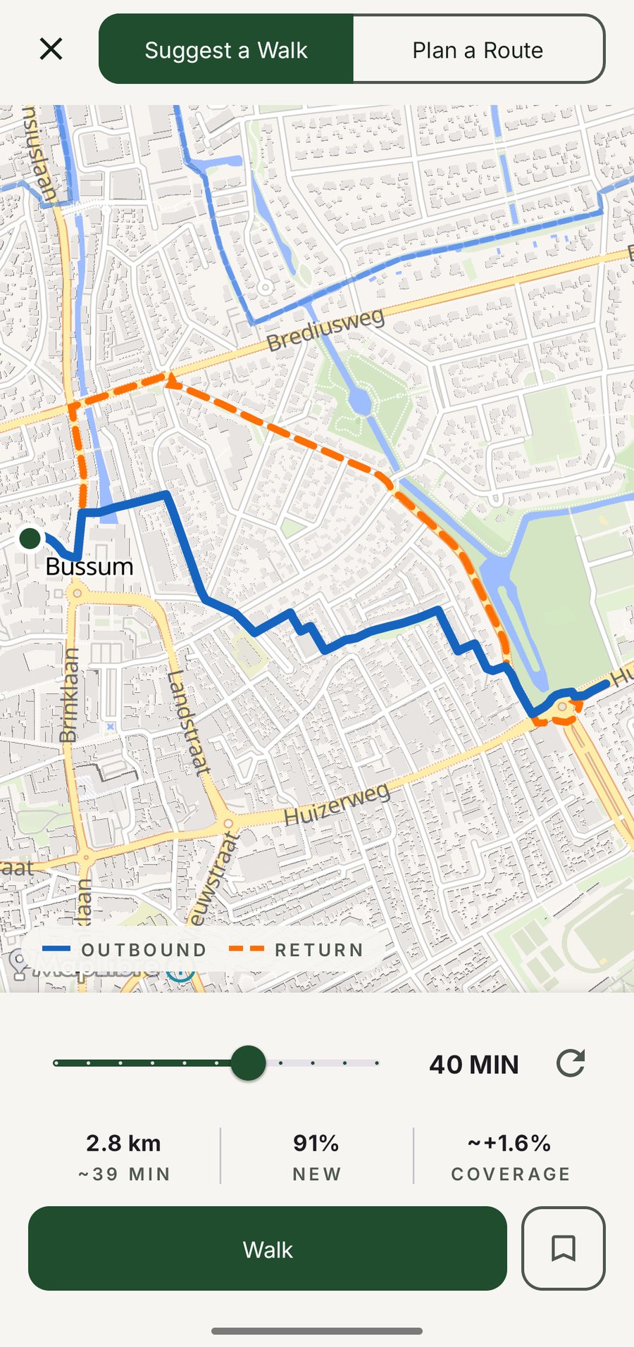
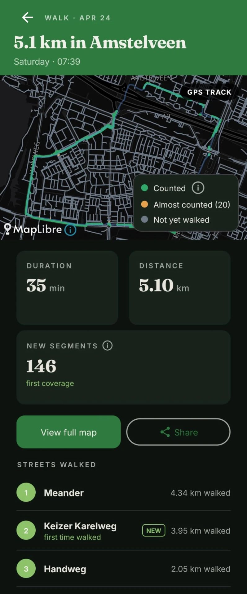
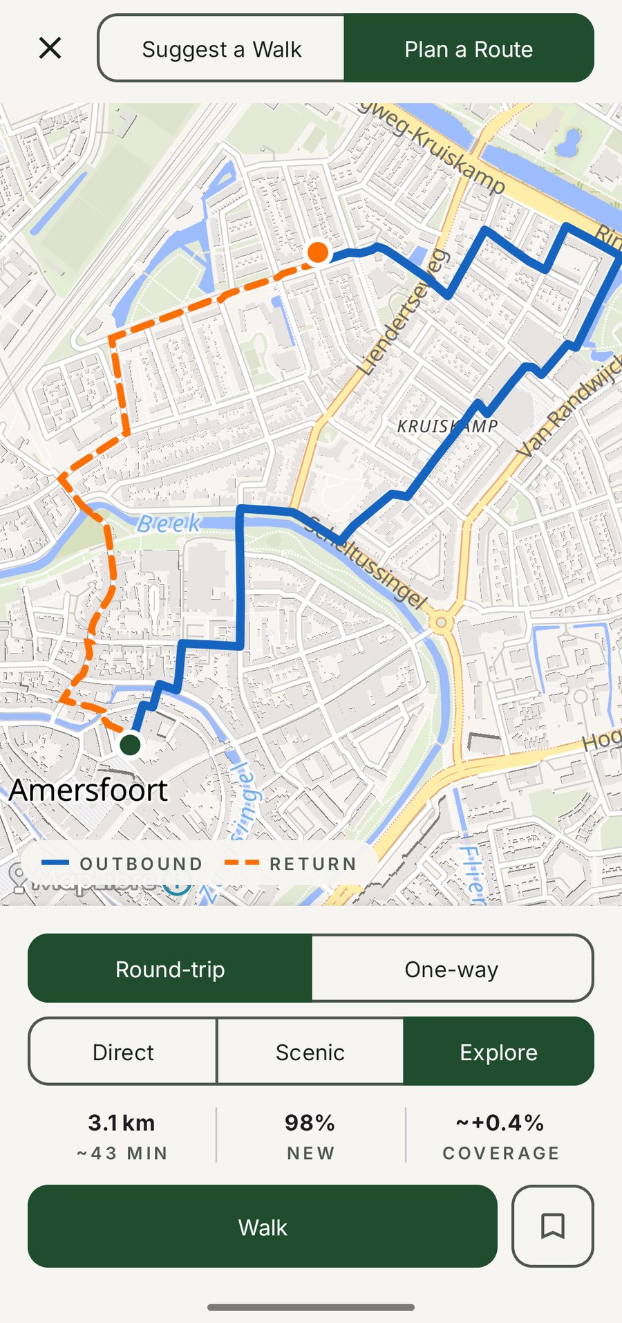
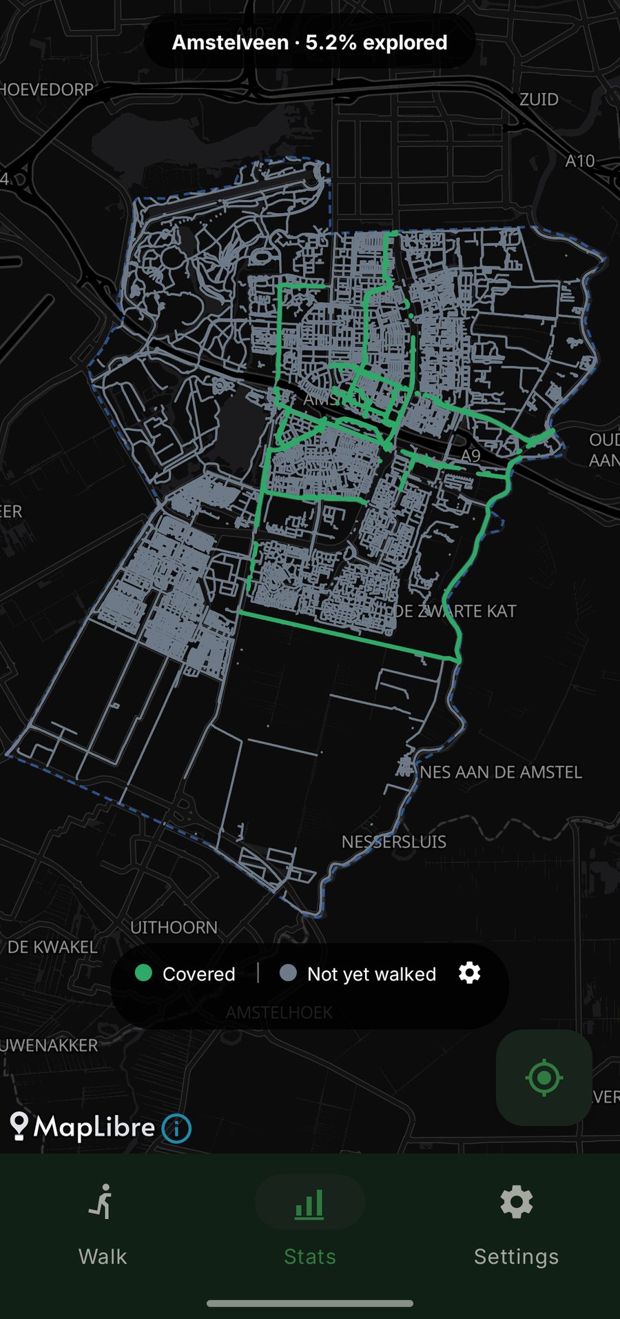
CityWalker was launched in the Dutch walking community. Read the discussion on r/Wandelen →
Scan a code from the app and your coverage map shows up on any browser in seconds, end-to-end encrypted, with nothing stored on a server.
Works with any city you've walked. Open citywalker.app/view and scan the code shown in the app's Coverage tab.
I write about the decisions behind the app: what counts as a street, how coverage is calculated, and how the numbers look. No press releases.
242 downloads, 49 countries, walk retention curves, and what the numbers say after two months live.
Read the post → June 2026Every OpenStreetMap tag I decided to include or exclude in the coverage map, and the reasoning behind each call.
Read the post → June 2026Why Vienna has 23 districts, Sacramento has 15 neighbourhood groups, and how those boundaries get drawn.
Read the post →Yes. Free to download and use, with no ads and no account. You get the whole app.
CityWalker only uses GPS while a walk is recording. Tap GO, walk, finish, and the app goes back to sleep. It does not track you in the background between walks.
Nowhere. Your routes, covered streets, and cities live in a local database on your phone and are never uploaded. The app sends me anonymous usage events and crash reports so I can improve it, and you can turn both off in Settings. The full list of what is sent is public.
No. Once a street is lit, it stays lit. Coverage only ever goes up.
Yes. The map comes from OpenStreetMap, so CityWalker works in any city worldwide. 29 large cities come pre-prepared with neighbourhood regions, and everywhere else downloads on demand. Browse the city pages.
Import them. CityWalker reads GPX files from any app or watch, and imported walks count toward your coverage instantly.
On Android: English, Deutsch, Español, Français, Nederlands, Polski, Português (Brasil) and Română. The app opens in your phone's language when it is one of these, and you can switch any time in Settings → Language. The translations are new, so if something reads oddly in your language, tell me through Settings → Give Feedback.
Yes. CityWalker for iPhone is on the App Store. A few Android features have not reached iPhone yet, and if something feels off, let me know.
Free to download. No account. No ads. Just a map of your city, waiting to be filled in.


Location is only used while recording a walk or detecting your city. Your walk history stays on your device and is never uploaded.
No sign-up, no email, no identity. Open the app and walk. The core will never need an account. Your walks are never uploaded to CityWalker. When you switch phones, they come with you through your phone's own transfer or backup.
Map data comes from the OpenStreetMap community. It is free, open, and global. No Google or Apple in the middle.